
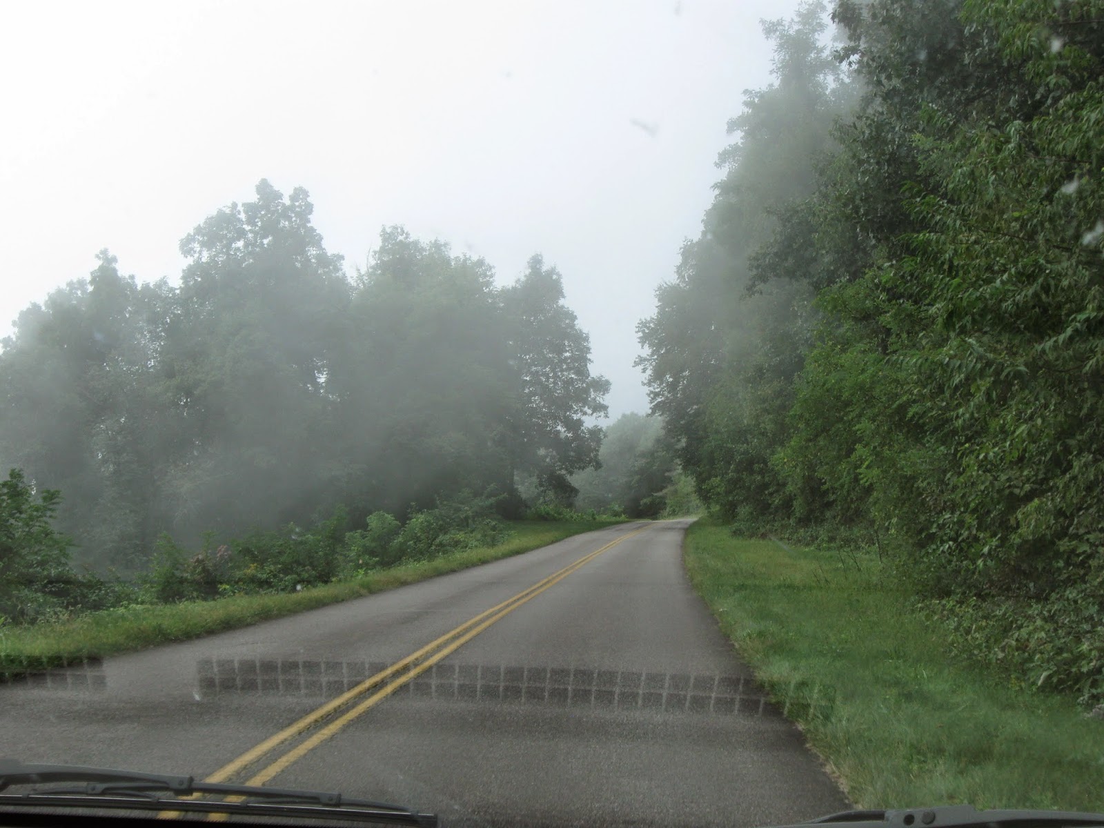
We drove a tiny bit on the Blue Ridge Parkway on our way to Mt. Mitchell.


That's supposed to be Mt. Mitchell between the trees in the middle.
The views were breathtaking at times.
At other times you couldn't see anything but clouds.
The clouds rolled around like smoke.

The road leading to the mountain top had several tunnels.


Another view of the cloud covered mountain.

Even the sign says it's there... somewhere behind the clouds.

These signs made better pictures than the GPS for keeping track of the elevation.
I think it was too foggy at this spot for mountain pictures.


This is a view of the lookout platform at the peak of the mountain.
There is a ranger station 2 miles before this spot.
You can drive or hike the last two miles.
We chose to drive :).

Path from the parking lot to the lookout.
It was quite steep.


On the platform they have these pictures telling you what you are looking at.
I'm glad they did this, otherwise I'd have no clue... especially since there were a lot of clouds.
(The names of these mountains made us chuckle!... who names a mountain butt?)

Erwin, where we stayed, is near Johnson City, on the left.

Spectacular view even with the clouds dropping down.

Looking at a restaurant and road to the top.

Through the opening in these clouds you can see the tops of lower clouds.
Just breathtaking!

According to Wunderground.com, the elevation of Rensselaer is 666 feet.
That's almost a mile higher than home!

You can kind of see the parking lot.

Typically the temperatures at the top are 20 degrees cooler than everywhere else.
That day it was 60.
It wasn't windy so it felt great.

The compass on the floor with a survey marker.

Connor asked me if we were going to take a picture of our feet.
Silly boy.
(We have a picture like this from the highest point in Ohio too.)


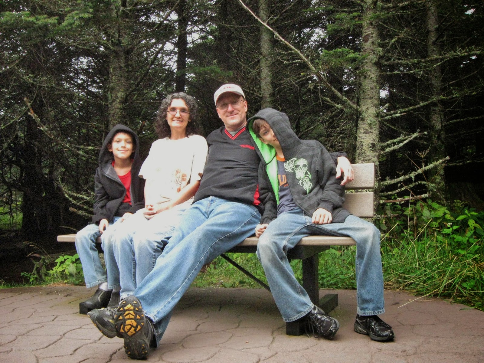
It's nice to have older children who are willing to take your picture.


We were fascinated to learn that the man who did the exploring of this mountain was a preacher.

No orneriness here.


The clouds were constantly changing.
Connor and I went back to the top for another view.


There was a small museum and gift shop by the parking lot.
They had these bible tracts as part of the exhibit on Rev. Mitchell.
They are dated 1858.
We also learned that they measured the elevation by
observing the change in barometric pressure.
They were fairly accurate considering it was the late 1800's!

I was all excited when we got to the ranger station and
noticed they had a recently posted bear warning.
I really wanted to see some (from the comfort of my van of course).
This was as close as I got, museum bears.

On our way down the mountain, the clouds continued to roll off the top.
This made it quite foggy at times.

Beautiful countryside.
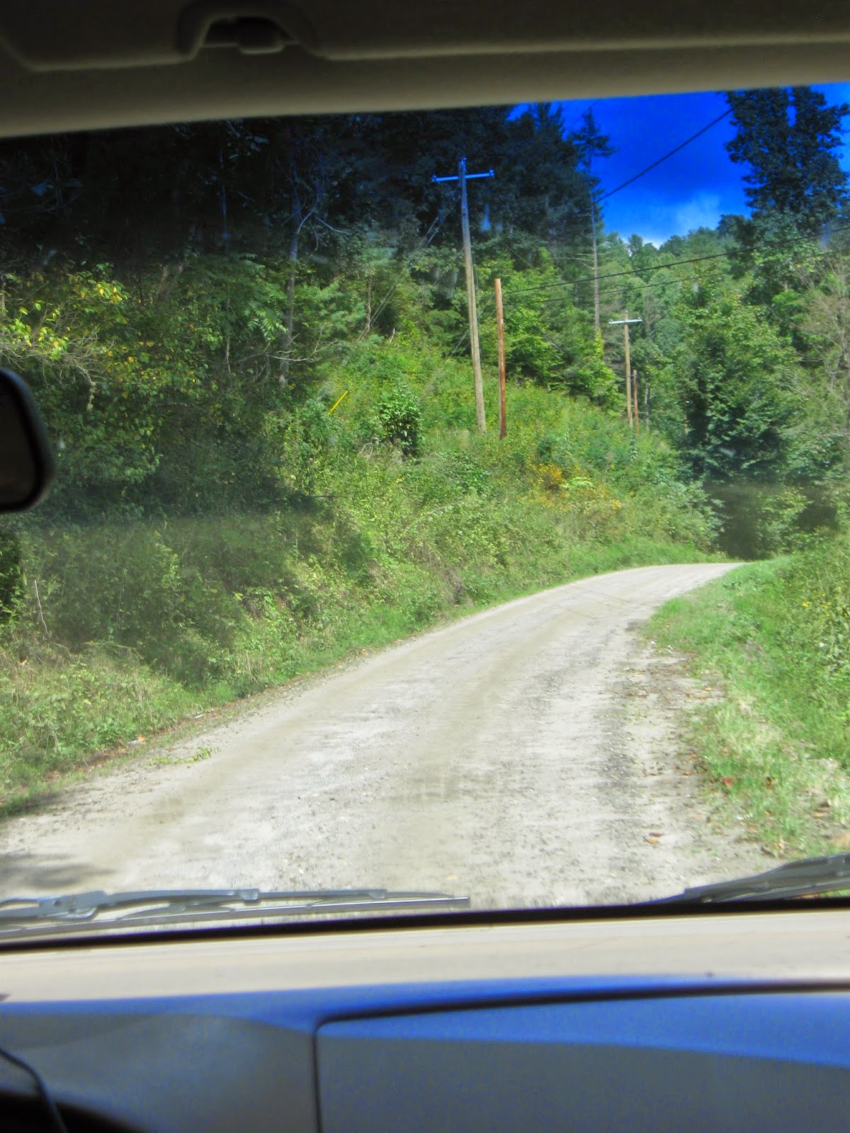
On the way back to Erwin, we were on some less traveled roads.
This one happened to be gravel.
We kept checking the GPS and atlas to see if we were on the right road.
We were on the right "highway", it just happened to not be paved.
It was very narrow and had lots of sharp turns.
We ended up behind a school bus (which is better than a logging truck).
Thankfully we weren't behind it for long.

More beautiful countryside.
No comments:
Post a Comment